Trail map included in the photo section, or click on Comox Northeast Woods.
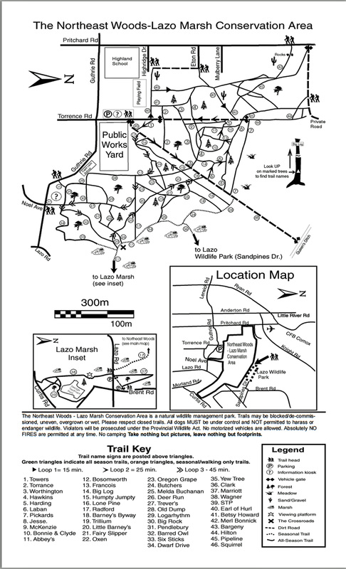
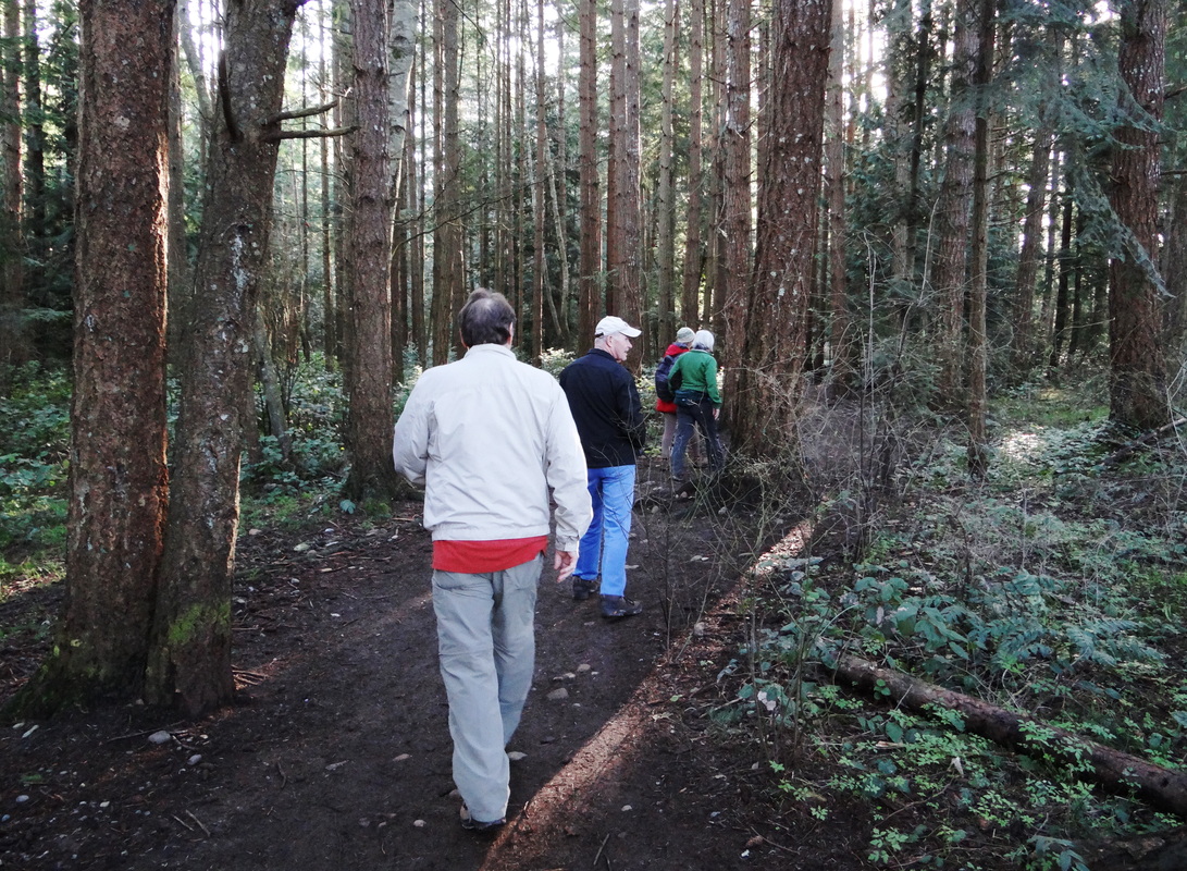
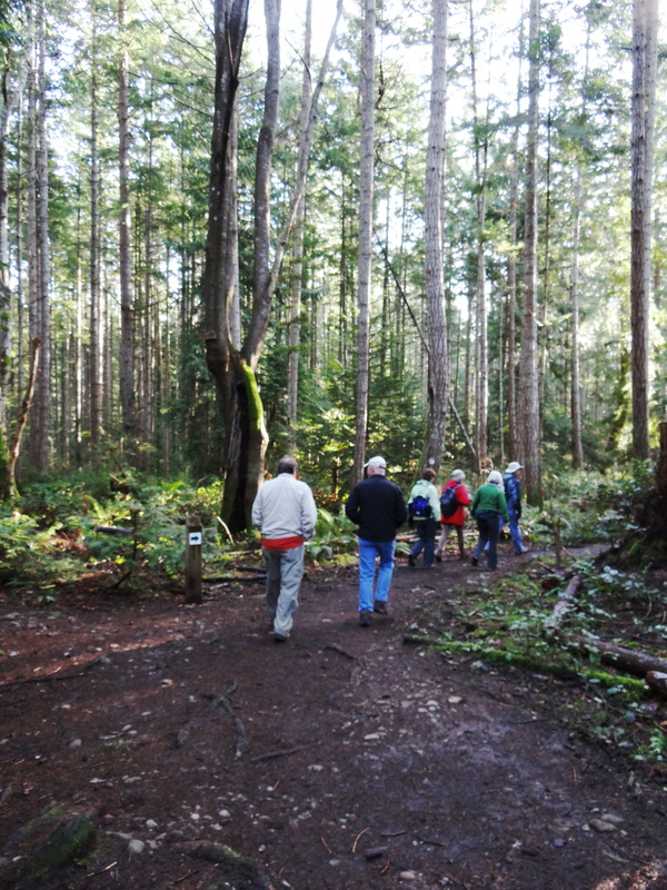
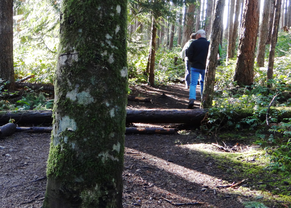
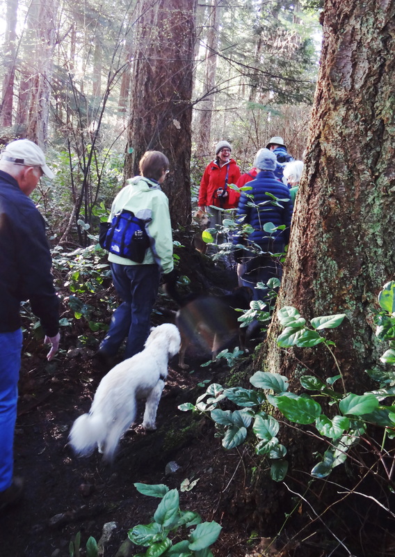
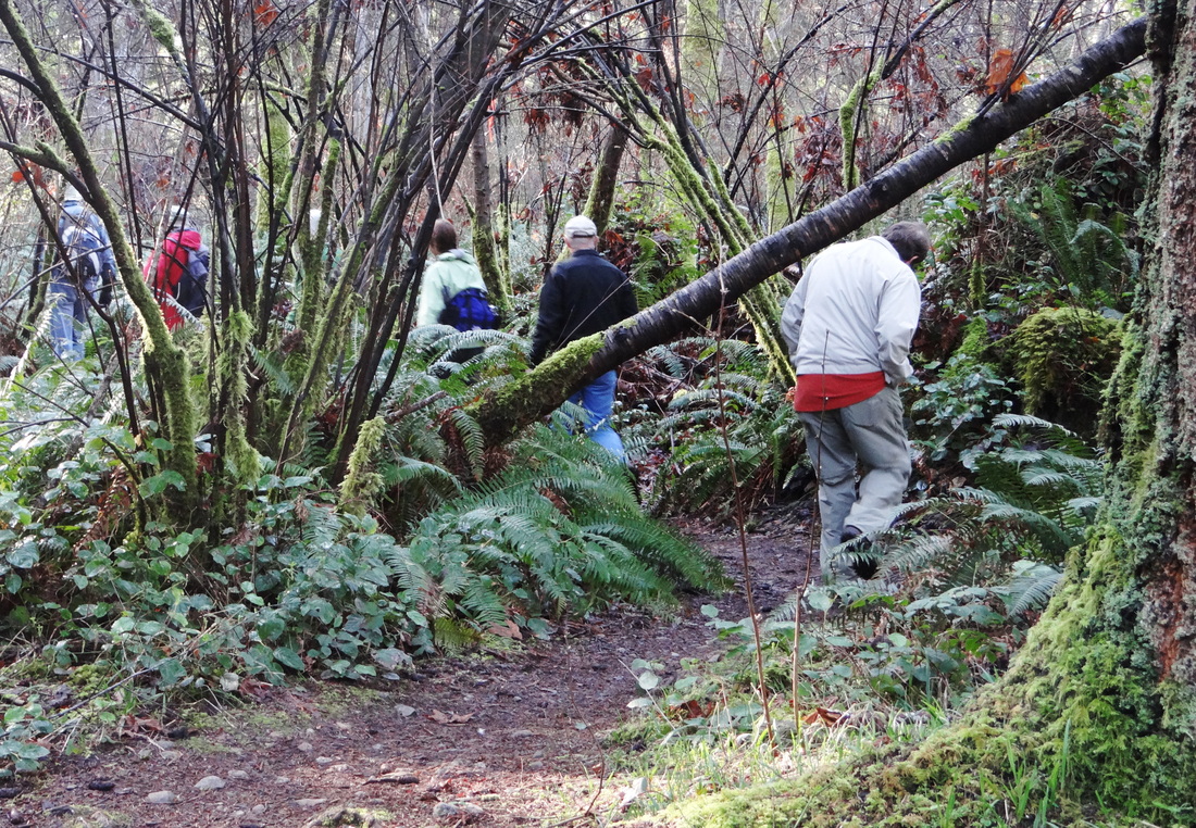
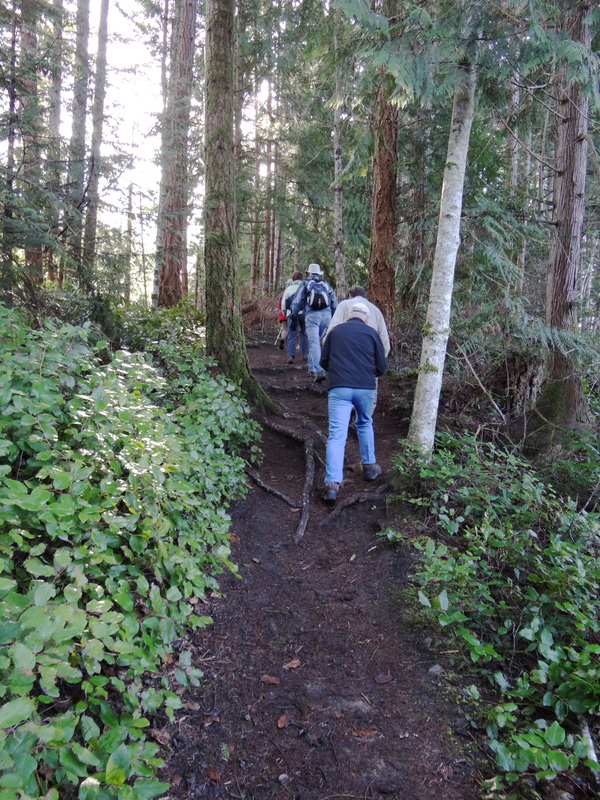
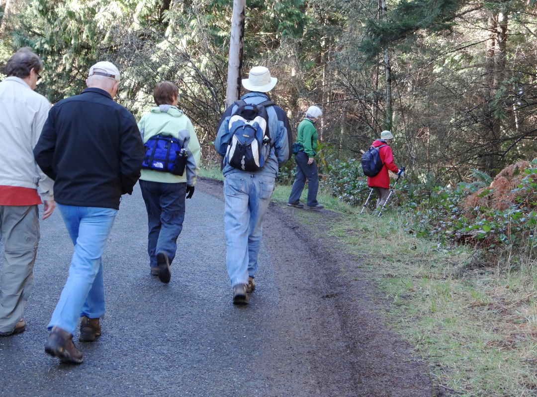
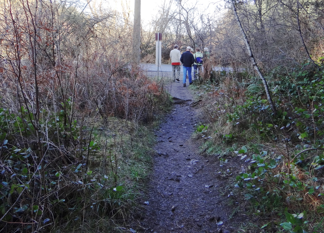
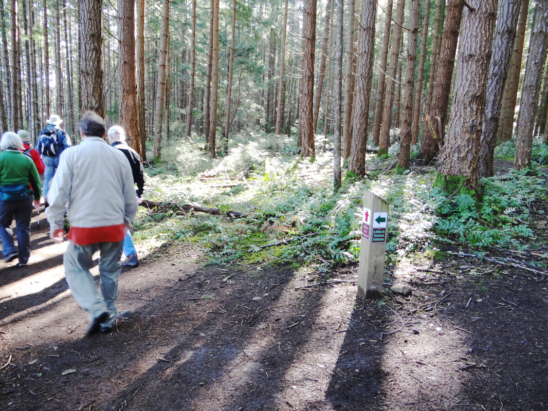
This trail system has several trailheads: the main one (with plenty of parking) is at the northern end of Torrence Rd., off Guthrie (Comox). Here, you find inter-winding multi-use trails for easy hiking, trail running and biking. Of note: This park is frequented by dog walkers and the dogs are generally off-leash. It might be better to plan hikes here for the early afternoon, when perhaps the incidence of dogs is a bit lower.
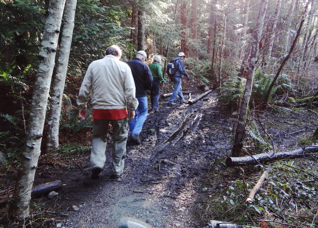
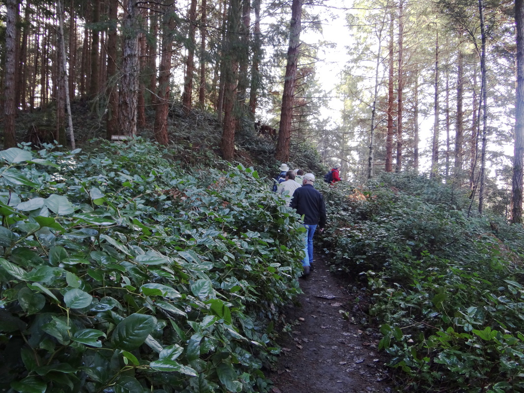
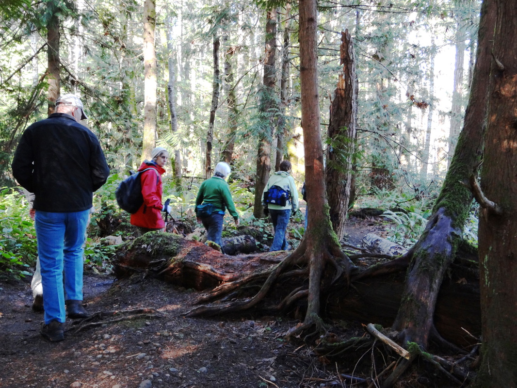
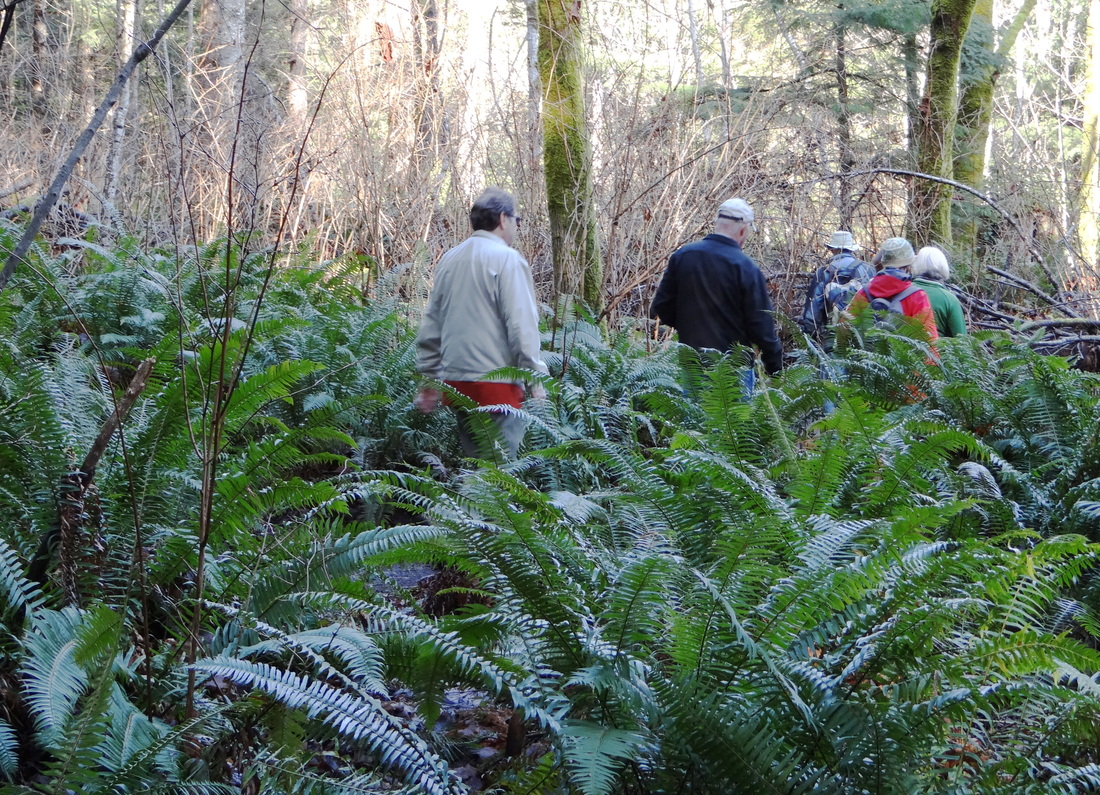
There is a large trail map at the car park detailing the various routes, which are mostly flat with a few small hills and which are suitable year round despite muddy patches after rains. The trails are well maintained.
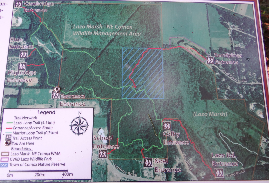
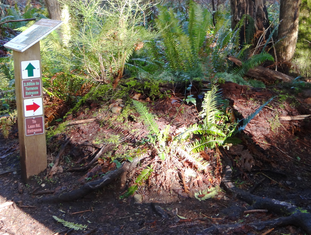
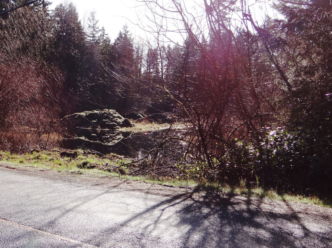
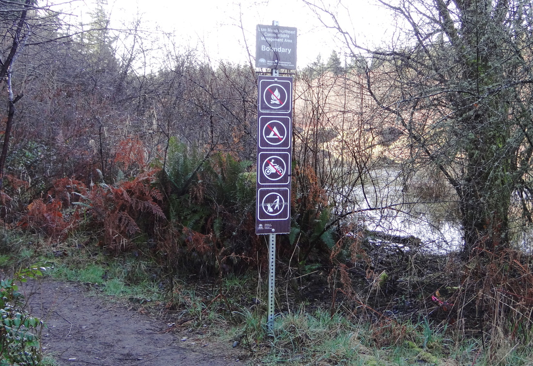
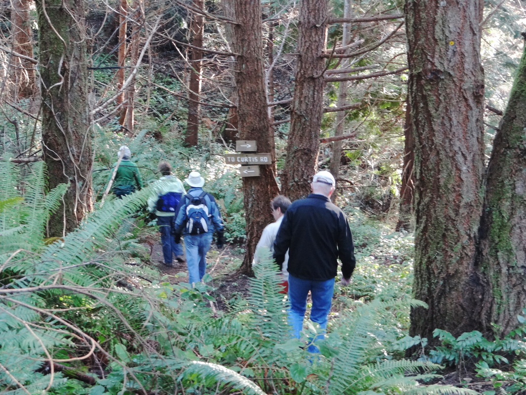
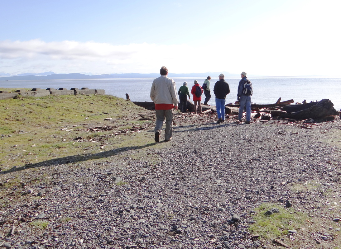
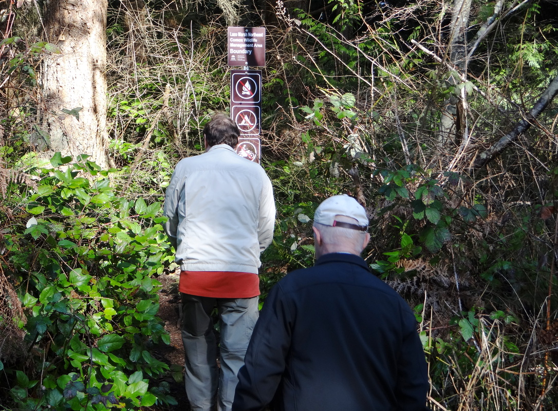
The park is next to the Lazo Marsh conservation area which is also worth checking out. The maps found at the park indicate where one can divert from the main NE Woods loop trail to reach Lazo Rd. By crossing Lazo Rd and heading in the direction of Point Holmes, one quickly comes to a path following the edge of Lazo Marsh and eventually reaching Curtis Rd. From here, it is an easy walk down Curtis to a public beach access. This half-way point to the hike is the perfect spot for a snack break before retracing the trail back to the Northeast Woods to hook back into the main loop trail for the completion of the hike back to the trailhead. The Lazo Marsh trail is a bit hillier than NE Woods, but the uphill sections are short and easy to negotiate.
This hike is approximately 9km in length, taking around 2.5 hours to complete.
Grade: 1
Click on photos to enlarge or cursor over for caption:
This trail system has several trailheads: the main one (with plenty of parking) is at the northern end of Torrence Rd., off Guthrie (Comox). Here, you find inter-winding multi-use trails for easy hiking, trail running and biking. Of note: This park is frequented by dog walkers and the dogs are generally off-leash. It might be better to plan hikes here for the early afternoon, when perhaps the incidence of dogs is a bit lower.
There is a large trail map at the car park detailing the various routes, which are mostly flat with a few small hills and which are suitable year round despite muddy patches after rains. The trails are well maintained.
The park is next to the Lazo Marsh conservation area which is also worth checking out. The maps found at the park indicate where one can divert from the main NE Woods loop trail to reach Lazo Rd. By crossing Lazo Rd and heading in the direction of Point Holmes, one quickly comes to a path following the edge of Lazo Marsh and eventually reaching Curtis Rd. From here, it is an easy walk down Curtis to a public beach access. This half-way point to the hike is the perfect spot for a snack break before retracing the trail back to the Northeast Woods to hook back into the main loop trail for the completion of the hike back to the trailhead. The Lazo Marsh trail is a bit hillier than NE Woods, but the uphill sections are short and easy to negotiate.
This hike is approximately 9km in length, taking around 2.5 hours to complete.
Grade: 1
Click on photos to enlarge or cursor over for caption: